
Appearance
Geometry and spatial indices
Three layers whose shape comes from the data rather than from a coordinate pair: an explicit geometry, and two global grids addressed by identifier.
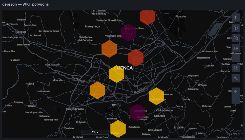
geojson
sql
SELECT geom, name, value, zona
FROM neighbourhoods;
Polygons, lines and points from a geometry column. Built automatically — the panel renames the column to kepler's _geojson and kepler creates the layer.
The column can hold GeoJSON, WKT, or raw WKB/EWKB hex; the image above is WKT. WKB decoding happens in the plugin, which is what lets a plain SELECT geom from PostGIS render with no ST_AsGeoJSON around it. See Geometry.
Fill and stroke are separately controllable, and polygons can be extruded into 3D by a column with the 3D control on.
Cost: the only layer here whose weight is unrelated to its row count. A hundred detailed municipal boundaries can outweigh a million points. Simplify in the query — ST_Simplify(geom, 0.0005) — rather than hoping the browser copes.
Backed by deck.gl's GeoJsonLayer.
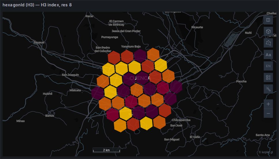
h3
sql
SELECT h3_index AS h3, COUNT(*) AS value, zona
FROM readings
GROUP BY 1, 3;
Uber's hexagonal grid. The index is the geometry: the layer derives each hexagon's boundary from the identifier, and the resolution comes from the index itself, so nothing needs configuring.
Built automatically, and by a mechanism worth knowing: kepler types a string column as H3 when its values are valid H3 cells, so detection is by content rather than by name. A column of good indices produces a layer under any name.
Distinct from the hexagon layer, which bins raw points in the browser. This one draws cells your data already carries — which means the aggregation happened in SQL, where it is far cheaper.
Backed by deck.gl's H3HexagonLayer, plus ColumnLayer when extruded.
s2
sql
SELECT s2_token AS s2, COUNT(*) AS value, zona
FROM sightings
GROUP BY 1, 3;
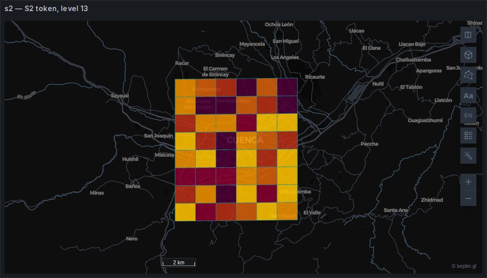
Google's quadrilateral grid, addressed by token. The same idea as H3 with square cells.
S2 is detected by name, not by value
There is no S2 role in Field mapping, and kepler's own detection looks for a column named exactly s2 or s2_token. A column called anything else produces no layer.
The gallery panel above is an illustration of this: its column is called token, so the layer is not autodetected at all — it is pinned by a saved map configuration. In your own dashboard, alias the column to s2 and it works without one.
Backed by deck.gl's S2Layer.
Choosing between them
| Your data is | Use |
|---|---|
| Real boundaries — administrative, parcels, routes | geojson |
| Already aggregated to H3 cells | h3 |
| Already aggregated to S2 cells | s2 |
| Raw points you want binned | hexagon or grid |
Between H3 and S2, prefer H3 if you have a choice: it is a panel role, it is detected from values rather than names, and it works for origin–destination flows. Use S2 when your data already arrives that way.